
Trace a Morristown Street by Address
A Morristown street search works best as a chain, not as a single name list. Begin with the address in Tennessee Property Assessment Data, or TPAD, and save the parcel identifiers and both address displays. That gives the Hamblen County Assessor, GIS staff, and Register of Deeds a shared reference. The assessment display is useful for an owner clue, but it is not proof of title or a full household list. Deeds and plats establish the land trail; election and historical sources have separate limits. Keeping the street spelling, house number, parcel clue, and search date together makes later comparison possible.
- Find the parcel. Select Hamblen County in TPAD and try the address or a street fragment. Save the Control Map, Group, Parcel, PI, SI, situs address, mailing address, owner display, subdivision, and sale clues that the card provides.
- Confirm the mapped address. Ask County GIS or City Planning/Inspections/GIS to verify an uncertain number, jurisdiction, street spelling, or parcel geography. The research did not locate a public GIS viewer with searchable layers.
- Separate land evidence from voter status. The statewide voter form is a one-person status tool that requires county, first and last name, birth month, and birth year. Its matched-result fields were not verified, so it should not be used to manufacture a street roster.
- Follow the deed path. Give the Register of Deeds the parcel, legal-description, owner, or date clues and ask which grantor/grantee index or terminal route applies. Search a known person as both grantee and grantor when following a transfer backward.
- Add dated household sources. Ask the Library, Archives, TSLA, or the Genealogical Society whether a directory, newspaper issue, tax book, or city-minute roll exists for the year in question. Treat any address-to-occupant link as a dated historical snapshot.
That flow is the practical core of a street directory: address to parcel, parcel to recorded evidence, then independently dated sources for historical context. It avoids treating one display as a complete answer.
Note: A street address starts the record trail, but each later source still needs its own date, custodian, and purpose.
Morristown TPAD Street Search Fields
TPAD is the verified public assessment route for a Morristown address. The advanced form requires a county plus at least one criterion. Its partial matching is useful when an older number is uncertain, but the source still describes assessment information, not title. Start with Hamblen County and one narrow clue. The recorded parcel identifier is more stable than a mailing line when older sources disagree.
| TPAD field | Control | Required | Morristown street use |
|---|---|---|---|
| County | Select | Yes in advanced mode | Select Hamblen County before searching a Morristown parcel. |
| Owner Name | Text | No | Try a surname or initial when an address result needs sorting. |
| Property Address | Text | No | Street number is optional; a street fragment can be used. |
| Subdivision Name | Text | No | Use a subdivision clue from a plat or assessment record. |
| Classification | Select | No | Portal-defined classes can be combined with another criterion. |
| Sale Date Start / End | Date pair | No | Enter dates as mm/dd/yyyy when a transfer period is known. |
| Control Map / Group / Parcel | Text fields | No | Control Map accepts three digits and up to two letters; Group up to two letters; Parcel five digits with an optional decimal after the third digit. |
| Sort By | Radio | No | Owner Name, Property Address, Parcel ID, Subdivision, Classification, or Sale Date. |
TPAD's inspected state sample also showed current and January 1 owner fields, mailing and situs addresses, values, land/building clues, zoning, neighborhood, sale information, and acreage fields. That sample was from Putnam County, not Hamblen County. A Hamblen parcel-card sample was not verified, so field availability must be checked on the live local result.
Note: The documented TPAD fields are a statewide interface inventory, not a promise that every Hamblen parcel returns every field.
Morristown GIS Address Checks
Hamblen County GIS is the verified address-verification and mapping contact for countywide property, planning, zoning, polling-place, and related geography. The county page identifies a contact route, not a public parcel viewer with exposed search fields, layers, or download tools. For a Morristown street question, provide the full address, older spelling if known, subdivision, and approximate date. City Planning/Inspections/GIS handles municipal street-naming and address questions inside the city.
The image from the Hamblen County GIS Coordinator page documents the official contact route rather than a searchable parcel-map result.
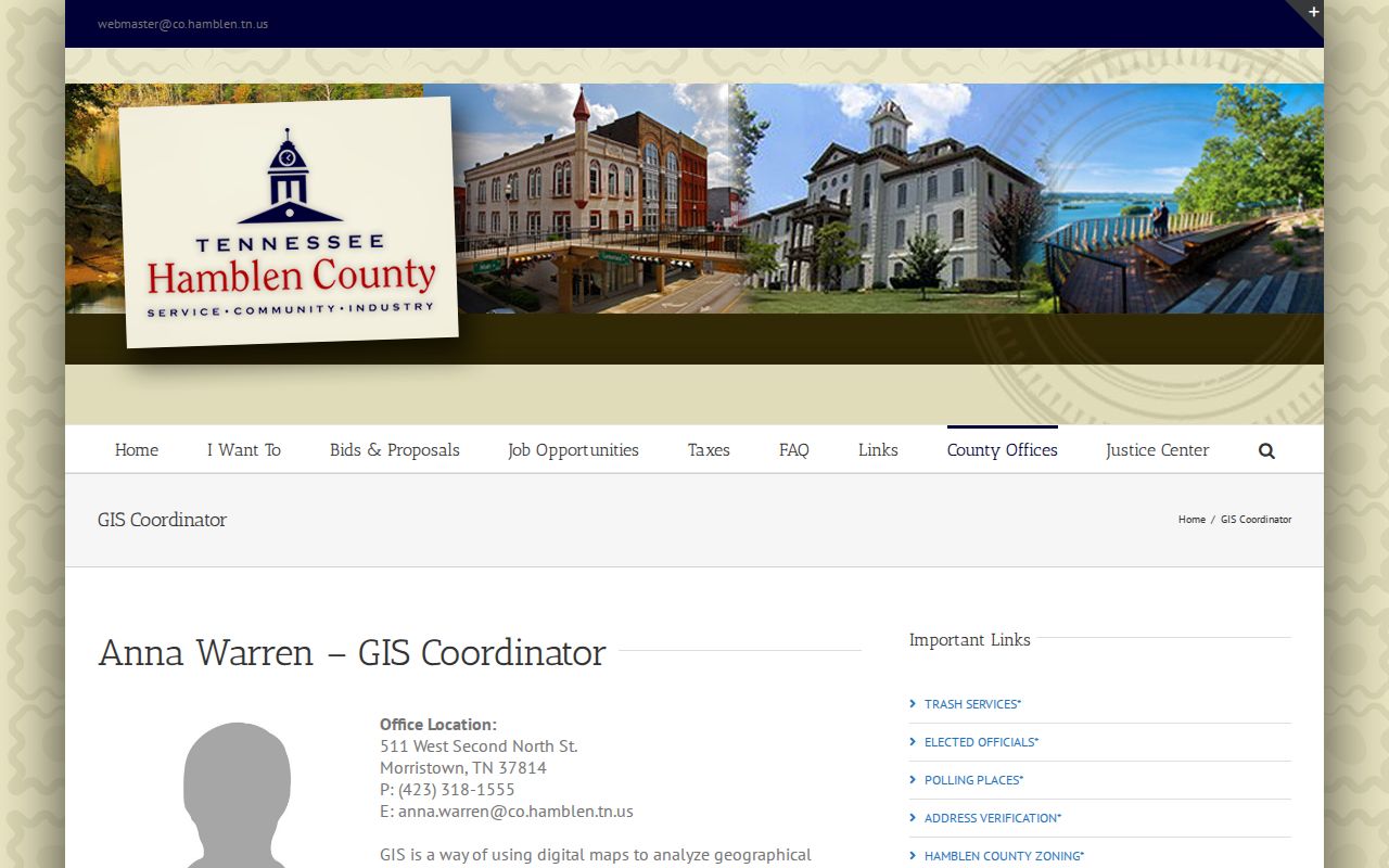
Use that contact route to ask for current address verification or parcel geography. No public Morristown or Hamblen GIS screenshot showing adjacent parcels, search controls, or map layers was captured, so a street directory should not claim that a map proves occupancy.
Morristown Address Record Coverage
Each address-keyed record answers a different question. The table separates verified online routes from counter, phone, archive, and request fallbacks. A current display may change, and a historical source can use a different street name or community label. The most reliable street directory notes the custodian, source date, and the type of fact each record supports.
| Address record | Custodian | Street-level clue | Verified access and fallback |
|---|---|---|---|
| Assessment card | Hamblen Assessor / TPAD | Situs and mailing addresses, owner display, parcel, sales, deed and acreage clues | Free statewide TPAD search; Assessor counter or phone for local follow-up |
| Parcel and GIS mapping | County GIS / City GIS | Parcel boundaries, street geometry, zoning, districts, and address verification | Viewer URL and layers were not exposed; contact GIS or City Planning |
| Deed or plat | Register of Deeds | Legal description, lot/block, grantor/grantee, easement, and prior deed | County records date to 1860; scans reach back to 1978; use counter, TPRA, or microfilm when needed |
| Tax roll | Assessor / Trustee | Owner, district, assessment, and tax-status clues | TPAD displays assessment information; Trustee portal was not located; use offices or Archives |
| Permit or code file | City Planning, Inspections, Code Compliance | Address, project, and responsible-party references | No public case search was located; use city contact or a narrow TPRA request |
| Voter status route | Election Commission / state lookup | Limited status and precinct clue from required inputs | One-person state form; full-file procedure, fields, and price require Election Commission confirmation |
| Reverse directory | Library, Archives, TSLA, or historical vendor | Historic address-to-occupant lead | Complete Morristown run and sample were not verified; ask each custodian by title and year |
A parcel number can connect the assessment display to deeds, plats, or a GIS inquiry. A street name alone cannot establish a household, and a voter-form no-match does not establish non-registration. Keep those results distinct.
Note: The same address can lead to county, city, postal, archive, and election records that each answer a different question.
Morristown Street Deed Trails
The Hamblen County Register of Deeds holds deeds, plats, releases, powers of attorney, charters, and related instruments. County information says the office records documents dating to 1860 and has electronically scanned deeds and plats back to 1978. It does not expose an exact public index endpoint, searchable field list, or local result sample. That gap matters: a landing page is not proof that an online grantor/grantee search is available.
For a Morristown street directory trail, call or visit with the address, parcel Control Map/Group/Parcel, subdivision, lot/block, legal description, likely owner, and approximate transfer date. Ask whether staff require a grantor/grantee index search rather than an address search. A grantor transfers an interest; a grantee receives it. A plat maps a subdivision or land layout and may explain lot and street relationships. The legal description is often stronger than a street number when an address changed.
For older instruments, the county page and TSLA inventory point to a counter, public-record request, or microfilm path. Specify the Register of Deeds as custodian, the instrument type, a narrow date range, and the relevant parcel or legal description. Inspection-only county requests may be oral, while copy requests use the county form.
Morristown Voter Status Route
The Tennessee Voter Lookup is not a by-address street directory. It requires Hamblen County, first name, last name, birth month, and birth year. The inspected form showed no birth-day or ID-number field. Its capture stated that the data was current August 25, 2026, but no matched result was obtained, so result fields such as status, precinct, or polling place remain unverified.
Use the form only to check the administrative record permitted by the custodian, then contact the Hamblen County Election Commission for an official question about records, maps, minutes, or a voter-list request. Tennessee voter-file requests have separate statutory certification, redaction, production-cost, and use terms. Do not infer ballot choices from registration or participation, and do not treat a blank form result as proof that someone is not registered.
Morristown Address Permit Requests
City Planning, Inspections, GIS, and Code Compliance can hold address-keyed material about permits, zoning, site plans, signs, inspections, notices, appeals, or public improvements. The sources did not locate a public municipal permit or code-case search with fields and result samples. That is a documented access gap, not a reason to guess that a particular address has a record.
A narrow request is the workable fallback. Name the city custodian, full address or parcel, project type, and date range. Morristown's 2020 Small Business Guide lists Planning/Signs/Zoning at 423-585-4620, Inspections/Building Permits at 423-585-4626, and Code Compliance at 423-317-1626; those details should be rechecked because the guide is dated. Under the Tennessee Public Records Act, inspection may be requested through the documented channels, while a copy request may require the county or city form and can involve copying or labor charges.
Morristown Street Name Reconciliation
Older address research often reaches a street name that does not match a current search. Morristown's addressing brochure says public-street and private-easement names go through the Regional Planning Commission, must be unique, avoid duplicate names, omit directional words in the name itself, avoid combined or split words, and follow a 20-character limit. Those rules explain the current naming process, not a dated renumbering list.
No verified year-by-year Morristown street-renumbering table was located. Ask City or County GIS to reconcile the historic spelling, house number, subdivision, and approximate date; then check a recorded plat, city minute, ordinance, or newspaper item. Morristown city minutes are listed on TSLA microfilm from 1855 through 1996, and ordinances from 1894 through 1991, providing a historical route when a current address search fails.
Search Fragments First
Insider tip. TPAD allows partial owner, address, and parcel criteria after county selection. For a Morristown street search with uncertain numbering, try the street without the house number, preserve the original spelling, and then narrow by subdivision, owner, or parcel. The narrowest reliable clue is usually the parcel identifier, not a postal line.
Note: A partial TPAD result is an assessment lead, so confirm any ownership conclusion with the Register of Deeds.
Morristown Criss-Cross Gaps
A criss-cross directory is an address-order volume that can turn a historic street into an occupant lead. It belongs to a different layer than today's property records. The research did not verify a Morristown reverse or criss-cross run, a shelf location, a year range, or a sample page. The Morristown-Hamblen Library says genealogy material other than microfilmed newspapers moved to Hamblen County Archives, so a library search can lead to an archive referral instead of a volume on the library shelf.
Ask the Library, Archives, Tennessee State Library and Archives, and the Hamblen County Genealogical Society for a specific title and year before citing a directory. For fuller historical collection routes, the Morristown city directory collections page keeps the source gaps and companion newspaper sources together.
Assessment Cards Are Not Deeds
Myth. A TPAD card can display an owner name, mailing and situs addresses, values, sales, acreage, and deed clues, but it is not title proof. An owner display may lag a new recording, a mailing address can differ from the property address, and a sale clue is not a complete chain of title. Use the card to identify the parcel, then verify the recorded instrument with the Register of Deeds.
Morristown Street Directory Limits
A Morristown street directory cannot turn public sources into a complete list of people at every address. Assessment records describe property, not every occupant. The county GIS route verifies geography but does not prove who is present. The research found no official complete reverse-directory run, no public city permit-case search, and no exposed Hamblen GIS viewer field list. Utility customer data should not be assumed public, and motor-vehicle personal information is governed by the federal Driver's Privacy Protection Act.
Protected records need special care. Tennessee Safe at Home participants may use substitute-address handling, and protected voter information can be removed from ordinary public lists and pollbooks. Vital, juvenile, sealed, and similarly restricted information has separate rules. A source that signals protected-address status is a stop sign, not an invitation to reconstruct the address.
Lawful use. Use Morristown address records for lawful personal research, and never use them to threaten, follow, intimidate, stalk, or harass another person.