
Morristown Neighbors by Block
Records around a block answer different questions. TPAD can locate the county assessment record for a target parcel. GIS and city addressing staff can verify how a street and parcel fit current geography. A plat or deed establishes lot relationships, while a voter lookup is a one-person status route with restricted fields. Historical minutes, newspapers, and directories can add a dated community layer. None of these records is a complete, current list of everyone on a block.
| Block source | What it can show | Verified access route |
|---|---|---|
| TPAD assessment record | Parcel owner display, mailing and situs lines, subdivision, value, sale clues | Free Hamblen County search |
| County or city GIS | Address verification, parcel geography, zoning and district context | GIS staff route; public viewer details not verified |
| Recorded plat or deed | Lot, block, easements, adjoining lots, legal description, transfer chain | Register of Deeds counter, request, or microfilm |
| Voter lookup | Limited status and precinct route for one named person | Tennessee form with required name and birth-month/year fields |
| Minutes and local sources | Street actions, public improvements, historic institutions, dated address clues | Archives, TSLA, library, and newspaper routes |
Keep owner information separate from occupancy. The assessment record can display an owner and mailing address, but it is not title proof and does not establish which people live at the property. A plat relates land parcels; it does not create a neighbor roster.
Note: A block record should state whether it describes land, an owner display, public geography, or a dated historical reference.
Morristown Neighbor Parcels
TPAD is the strongest online starting point for a Hamblen County address. Select Hamblen County, then use an owner, property-address, subdivision, classification, sale-date, or parcel search. A street search can omit the number, and the advanced screen permits combined criteria. Save the Control Map, Group, Parcel, PI, and SI values, plus the search date, before asking GIS or the recorder to clarify an adjacent lot.
The research did not identify a public Hamblen GIS viewer URL, layer list, or live adjacent-parcel tool. It would be inaccurate to say an online map will reveal nearby owners. The documented route is the Hamblen GIS Coordinator for countywide address and mapping questions, and Morristown Planning/Inspections/GIS for city addressing questions. Give staff the target address, parcel data, and the exact boundary issue.
Research tip. A parcel identifier is steadier than a mailing line when a block has an old street spelling, a changed delivery route, or a disputed address.
Map Morristown Neighbors Carefully
The supported block method is an address-to-parcel workflow, not an online household sweep. Start from the known address, identify the target parcel, ask GIS to verify mapped geography and adjacent identifiers, then use plats and deeds to understand the lot relationships. The record keeper can clarify whether a current street number, subdivision, jurisdiction, or legal description has changed. For a full named-street record trail, use the Morristown street directory.
- Search the address or street fragment in TPAD and copy the parcel identifiers, situs address, subdivision, and sale or deed clues.
- Ask County GIS or City Planning/GIS to confirm the current address, parcel geography, and city or county jurisdiction.
- Request or inspect a recorded plat when the question is about adjoining lots, an easement, or a subdivision layout.
- Use the Register of Deeds for the transfer chain attached to each legal description, not for an assumption about present occupants.
- Add historical minutes or newspaper evidence only after recording the date and exact source.
That flow protects against a common mistake: treating the owner line, a postal address, and a current household as the same fact. They can agree, but the records serve different purposes and need separate verification.
Morristown Block Records and Zoning
Block geography can include zoning, planning, public improvements, and address-verification records. Those materials help explain a street or parcel, especially where a historic record uses an old institutional or commercial address. City Planning routes address-related requests by project type and date range. The research did not find a public local permit or code-case search with verified fields, so a narrow city request is more useful than guessing from a generic search screen.
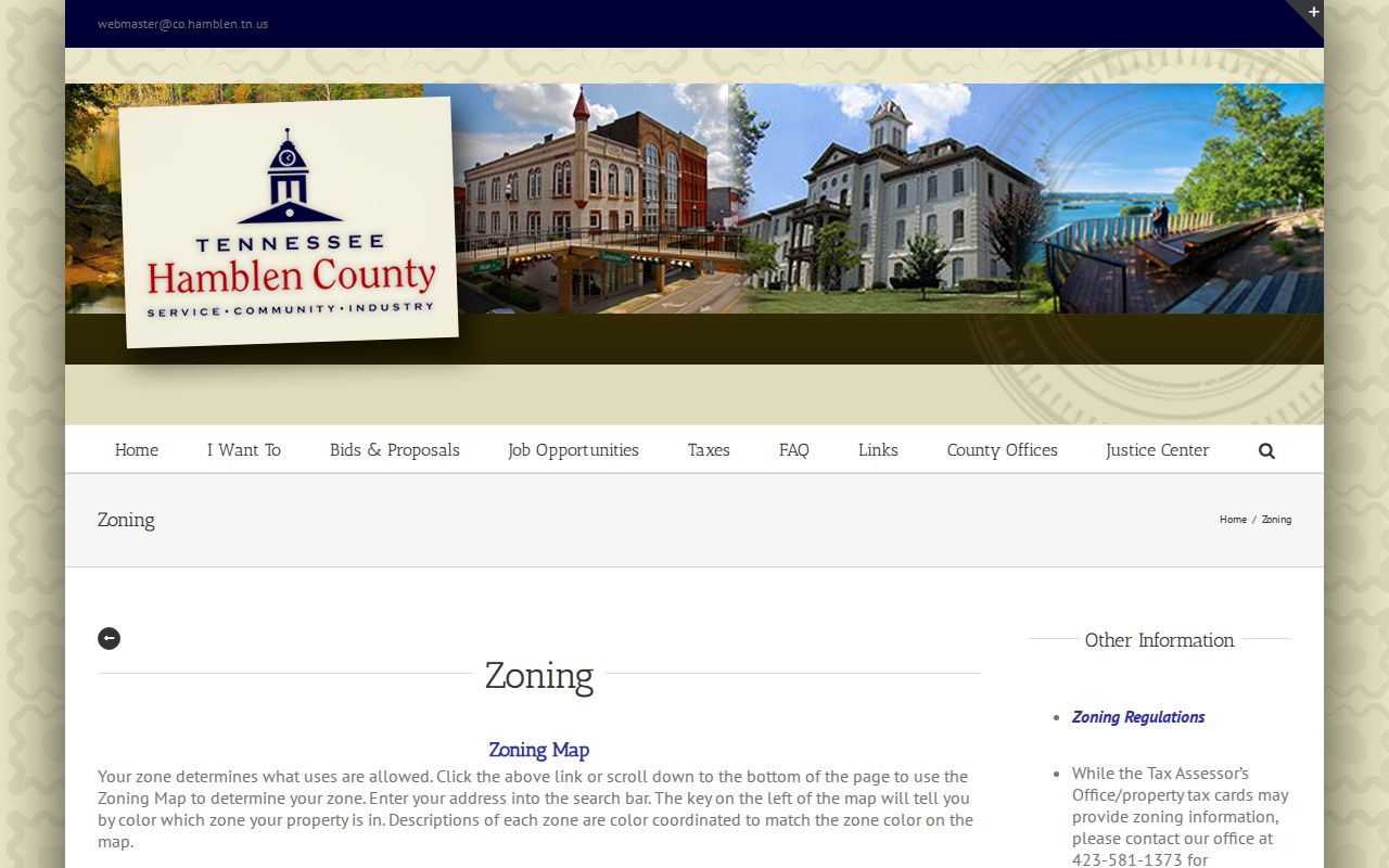
The Hamblen County zoning page shows the county planning context used for property questions.
Planning and zoning material can explain a parcel's regulatory setting. It should not be treated as evidence that an owner, a named business, or a nearby household is present today.
Morristown Neighbor Voter Records
The Tennessee Voter Lookup is a status tool for one person, not a block directory. It requires county, first name, last name, birth month, and birth year. The research did not obtain a matched result, so result fields such as precinct or status should not be assumed. A no-match can reflect spelling, an incorrect county, an access limitation, or a different record issue. It is not proof that someone is unregistered.
The full voter-file route differs from the public form. T.C.A. §2-2-138 governs voter-list access, production costs, certification, and use conditions. The Hamblen Election Commission is the custodian to ask for the current form, redactions, and lawful request conditions. Do not infer ballot choices or political affiliation from a registration-related record.
Note: Sensitive voter fields and protected addresses have separate restrictions, so a public status lookup should never be used to reconstruct a private address.
Morristown Neighbor Geography
Morristown, Hamblen County, the postal service, the Census, and election offices draw different lines. A ZIP is a delivery route. A precinct supports election administration. A parcel describes land. A city boundary and a historical community name answer other questions. The same address can appear differently across those systems without a contradiction. For a block question, preserve the source date and ask the office that manages that specific boundary.
Historical geography adds another layer. Morristown was incorporated in 1855 and Hamblen County formed in 1870. Russellville, Whitesburg, Springvale, and Panther Springs may appear in older sources. City minutes on TSLA microfilm span 1855 through 1996 and can help explain public street actions or improvements that a current parcel record cannot. Census QuickFacts reports a 2020 city population of 30,431 and roughly 27.62 square miles, useful scale but not address evidence.
Downtown records need their own date check. The National Register record for the Morristown Main Street Historic District, NRIS 16000120, gives a period of significance from 1875 through 1974. It can help interpret a historic building name, commercial address, or institutional reference. It is not a current parcel-owner list and cannot establish who lives nearby. Morristown College Historic District provides another historic-address layer that must be paired with the record type that actually supports the question.
When an old source and a current address disagree, keep both forms rather than forcing one to match the other. Ask City Planning/GIS or County GIS whether a street name, subdivision, annexation, or parcel description explains the difference. Then test the answer against a recorded plat, deed, or dated city minute. A historical designation gives useful context, but the parcel, deed, or mapped jurisdiction supplies the more precise block evidence.
Morristown Neighbor Referral Routes
No official Morristown directory of neighborhood associations, HOA rosters, block watches, or association boundaries was found in the research. That is a meaningful gap. Treat an organization roster as private unless the organization publishes its own public contact information. The contacts below are referral points for recognized neighborhood terminology, subdivision history, and public community information, not lists of residents.
County GIS
511 W Second North Street
423-318-1555
Address and parcel questions
City Planning/GIS
100 W 1st North Street
423-585-4620
Street naming and municipal address route
Hamblen Archives
511 W Second North Street
423-586-1961
Historic records and referral
Morristown Area Chamber
825 W First North Street
423-586-6382
Public community and business directory
The Morristown Area Chamber publishes a community and member-directory layer, which is different from a government parcel, license, or voter record.
Use a public organization listing as a lead to a community resource. Verify any property or individual claim through the appropriate custodian and the record type that supports it.
Compare Morristown Neighbor Sources
Official records and commercial people-search categories do different work. Official sources name the custodian, record type, access rule, and date. Commercial profiles can combine public and commercial data, infer relationships, merge people with the same name, or retain stale information. A block question is best resolved by comparing the official parcel, plat, and deed trail with dated local evidence, not by accepting a compiled profile as final.
| Official source route | Compiled commercial category |
|---|---|
| Known custodian, defined record type, date, and request path | May merge sources and use opaque update practices |
| Parcel and deed records can be checked against their underlying document | May not identify the document, date, or correction route |
| Restrictions and redactions remain visible | May retain stale or wrong-person associations |
When an entry looks wrong, contact the actual custodian or use the service's own suppression process. Do not expand the search into a profile of a living person.
Note: A compiled profile can be a lead, but the source document and its custodian remain the route for verification or correction.
Protect Morristown Neighbors
Some information remains private even when a parcel is easy to locate. Vital records have entitlement limits. Court files can be sealed or restricted. Safe at Home participants may use protected address handling. Utility customer data and delivery information should not be treated as public block evidence. The Tennessee Driver's Privacy Protection Act rules also limit motor-vehicle personal information.
Lawful use. Use Morristown neighbor research for civic context, property curiosity, and reconnecting through lawful channels. Tennessee law prohibits stalking and harassment, and protected-address information must not be reconstructed or shared.
A source map is safer and more useful than a list of people: record the custodian, official route, field used, access limit, and search date. If a record is wrong, ask the custodian about correction rather than publishing more personal detail.